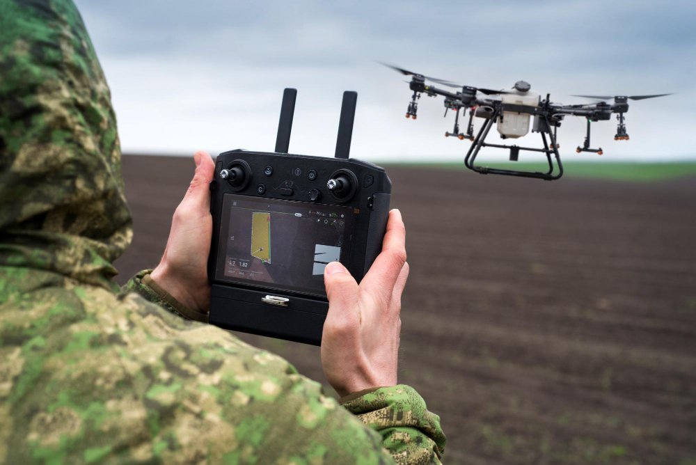
We deliver tailored UxS solutions for national defense, homeland security, and critical infrastructure protection. Every service is built for precision, security, and rapid deployment in complex environments.
Aerial Surveillance
We provide real-time, high-altitude drone surveillance to support threat detection, border monitoring, and situational awareness for federal and defense operations. Our team delivers live feeds with encrypted transmission for mission-critical decision-making.
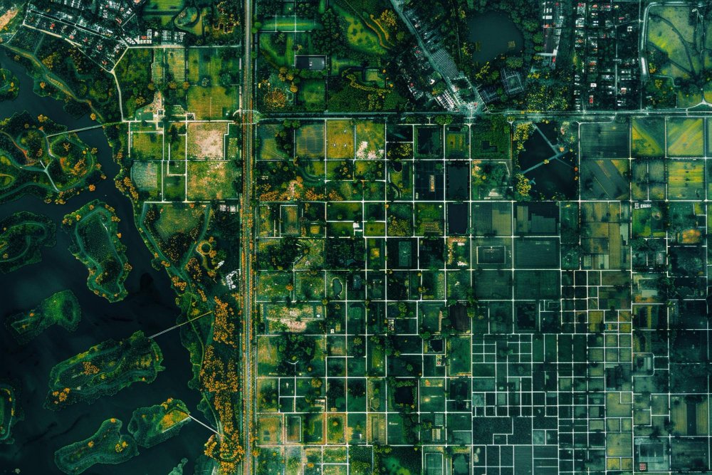
Our team captures high-resolution imagery and LiDAR data to generate 3D terrain models, orthomosaic maps, and infrastructure overlays. These mapping solutions support planning, engineering, and tactical field operations.
In crisis scenarios, our teams rapidly deploy drones to assess damage, locate threats, or deliver live updates to command centers. We help emergency services gain visibility and coordination in disaster and high-risk zones.
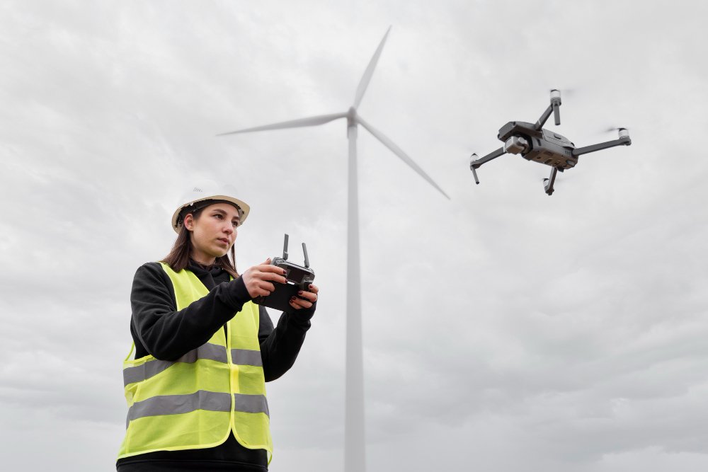
We enable continuous aerial perimeter security using AI-enhanced video analysis and geofencing technology. This allows for early detection of unauthorized activity around critical infrastructure or sensitive zones.
We guide federal agencies and contractors through FAA Part 107 requirements, DoW Trusted UxS frameworks, and operational risk assessments to ensure fully compliant drone programs from launch to integration.
Our team supports end-to-end drone program setup, helping government clients integrate UxS into existing workflows, procurement systems, and data environments for long-term operational success.